


Lucy le Bocage du 15/05/2020

VANDERPUTTENMi
User GUIDE
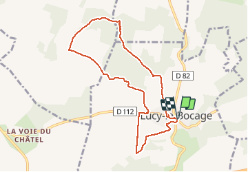

Length
8.1 km

Max alt
208 m

Uphill gradient
131 m
Km-Effort
9.8 km

Min alt
131 m

Downhill gradient
134 m
Boucle
Yes
Creation date :
2020-05-15 12:24:53.971
Updated on :
2020-05-19 19:30:13.913
2h13
Difficulty : Very easy

FREE GPS app for hiking
 SityTrail
IGN / Geographical institutes
SityTrail Plus
The world is yours!
About
Trail Walking of 8.1 km to be discovered at Hauts-de-France, Aisne, Lucy-le-Bocage. This trail is proposed by VANDERPUTTENMi.
Description
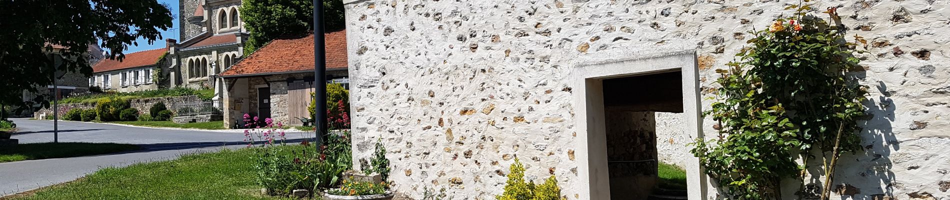
Aucune difficulté particulière, de beaux chemins...
Photos


Positioning
Country:
France
Region :
Hauts-de-France
Department/Province :
Aisne
Municipality :
Lucy-le-Bocage
Location:
Unknown
Start:(Dec)
Start:(UTM)
520456 ; 5433836 (31U) N.
Comments
Belle rando