


la chataigneraie

martinjacque
User


Length
6.2 km

Max alt
454 m

Uphill gradient
138 m
Km-Effort
8 km

Min alt
358 m

Downhill gradient
137 m
Boucle
Yes
Creation date :
2014-12-10 00:00:00.0
Updated on :
2014-12-10 00:00:00.0
1h44
Difficulty : Very easy

FREE GPS app for hiking
 SityTrail
IGN / Geographical institutes
SityTrail Plus
The world is yours!
About
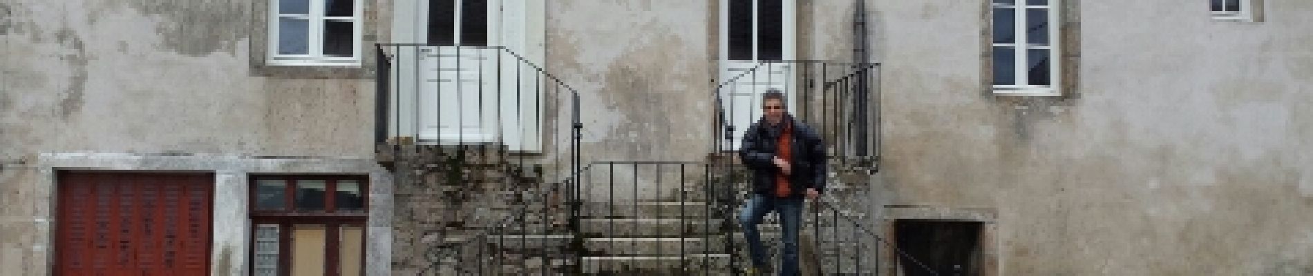
Trail Walking of 6.2 km to be discovered at Bourgogne-Franche-Comté, Saône-et-Loire, Saint-Léger-sous-Beuvray. This trail is proposed by martinjacque.
Photos


Positioning
Country:
France
Region :
Bourgogne-Franche-Comté
Department/Province :
Saône-et-Loire
Municipality :
Saint-Léger-sous-Beuvray
Location:
Unknown
Start:(Dec)
Start:(UTM)
583868 ; 5197129 (31T) N.
Comments
balade très sympa lorsqu' on a pas trop de temps devant soi.