


Plateau de Beille - L'ours

pilou31
User
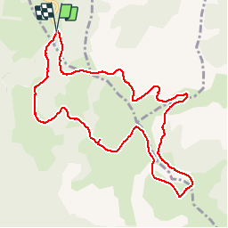

Length
11.5 km

Max alt
1984 m

Uphill gradient
408 m
Km-Effort
17 km

Min alt
1723 m

Downhill gradient
403 m
Boucle
Yes
Creation date :
2014-12-10 00:00:00.0
Updated on :
2014-12-10 00:00:00.0
3h29
Difficulty : Medium

FREE GPS app for hiking
 SityTrail
IGN / Geographical institutes
SityTrail Plus
The world is yours!
About
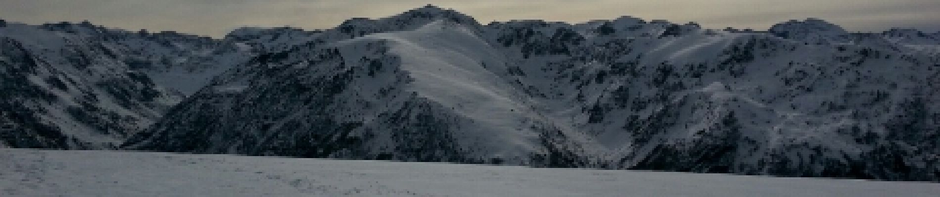
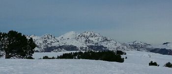
Trail Nordic walking of 11.5 km to be discovered at Occitania, Ariège, Albiès. This trail is proposed by pilou31.
Description
Rando raquettes
Photos


Positioning
Country:
France
Region :
Occitania
Department/Province :
Ariège
Municipality :
Albiès
Location:
Unknown
Start:(Dec)
Start:(UTM)
392831 ; 4731015 (31T) N.
Comments
Excellent, simple, rapide, fiable... Je recommande