


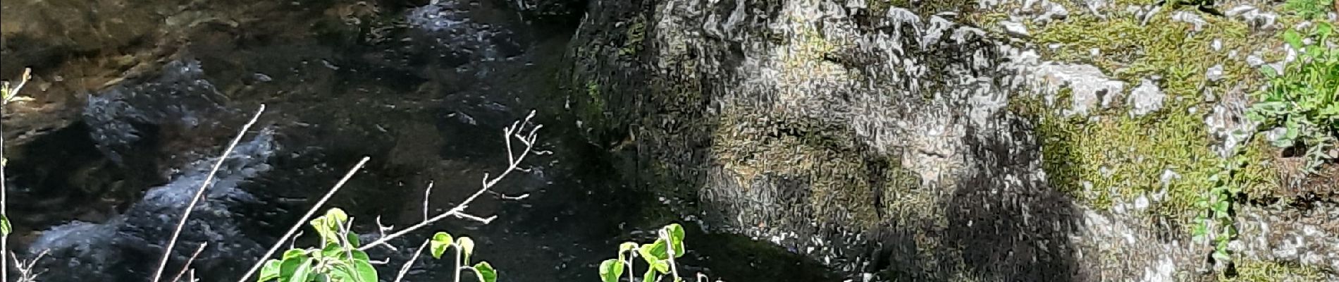
cascade de DARD

Jacky Fumey
User


Length
25 km

Max alt
923 m

Uphill gradient
791 m
Km-Effort
34 km

Min alt
252 m

Downhill gradient
394 m
Boucle
No
Creation date :
2020-05-17 12:59:28.3
Updated on :
2020-05-17 15:28:05.766
1h32
Difficulty : Very easy

FREE GPS app for hiking
 SityTrail
IGN / Geographical institutes
SityTrail Plus
The world is yours!
About
Trail Walking of 25 km to be discovered at Auvergne-Rhône-Alpes, Ain, Cheignieu-la-Balme. This trail is proposed by Jacky Fumey.
Photos


Positioning
Country:
France
Region :
Auvergne-Rhône-Alpes
Department/Province :
Ain
Municipality :
Cheignieu-la-Balme
Location:
Unknown
Start:(Dec)
Start:(UTM)
703393 ; 5077636 (31T) N.
Comments