Trail Walking Maringues - 
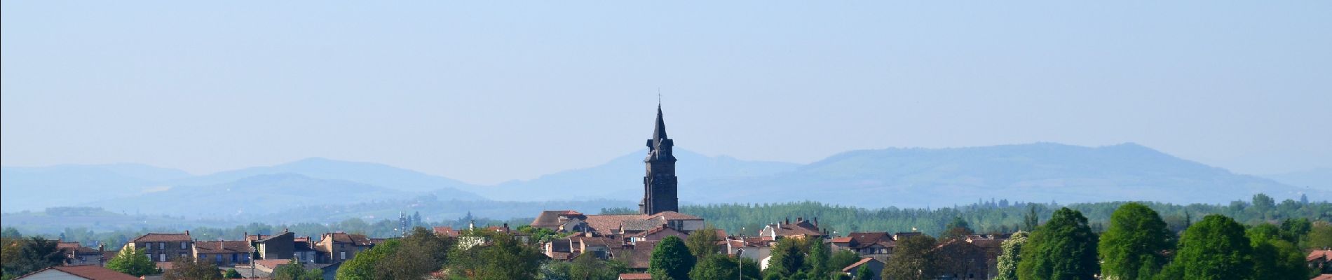
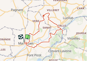
Maringues_Butte_Montgacon - Photo
 jagarnier
jagarnier

User GUIDE

© OpenStreetMap contributors
Length
Length
16.4 km
Max alt
Max alt
398 m
Uphill gradient
Uphill gradient
171 m
Km-Effort
Km-Effort  
18.7 km
Min alt
Min alt
279 m
Downhill gradient
Downhill gradient
171 m
Boucle
Boucle
Yes
Creation date :
2020-05-18 04:01:23.267
Updated on :
2023-12-08 10:29:10.963

(0 Reviews)

Walking
Walking
5h00
Difficulty : Medium

Scan this QR Code to open this trail in the SityTrail application

FREE GPS app for hiking

Logo SityTrail SityTrail

IGN / Geographical institutes

Download SityTrail from the App Store Download SityTrail from Google Play

Logo SityTrail SityTrail Plus

The world is yours!

Download SityTrail from the App Store Download SityTrail from Google Play Download SityTrail on Huawei AppGallery

About

Trail Walking of 16.4 km to be discovered at Auvergne-Rhône-Alpes, Puy-de-Dôme, Maringues. This trail is proposed by jagarnier.

Description

au cours de cette randonnée, vous contemplerez des montagnes du Boubonnais à la chaine des Puys. Une longue marche le long de l'Allier vous permettra de voir nombre de fleurons d'un petit patrimoine rappelant les riches heures du pays des tanneurs et des bateliers.

Elevation profile

Photos

Positioning

Country:
France
Region :
Auvergne-Rhône-Alpes
Department/Province :
Puy-de-Dôme
Municipality :
Maringues
Location:
Unknown
Start:(UTM)
525340 ; 5085435 (31T) N.


Close
My subscriptions