


Suite de Vandières

bitiba
User
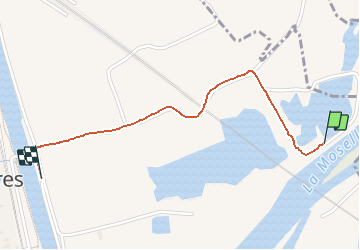

Length
1.3 km

Max alt
176 m

Uphill gradient
4 m
Km-Effort
1.3 km

Min alt
170 m

Downhill gradient
2 m
Boucle
No
Creation date :
2020-05-19 13:15:44.0
Updated on :
2020-05-19 13:35:35.694
19m
Difficulty : Unknown

FREE GPS app for hiking
 SityTrail
IGN / Geographical institutes
SityTrail Plus
The world is yours!
About
Trail Walking of 1.3 km to be discovered at Grand Est, Meurthe-et-Moselle, Vandières. This trail is proposed by bitiba.
Description
Chaud
Positioning
Country:
France
Region :
Grand Est
Department/Province :
Meurthe-et-Moselle
Municipality :
Vandières
Location:
Unknown
Start:(Dec)
Start:(UTM)
284197 ; 5426716 (32U) N.
Comments