


Dessel-Witgoor 12 km

marjence
User
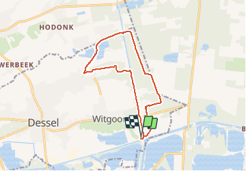

Length
12.1 km

Max alt
41 m

Uphill gradient
76 m
Km-Effort
13.1 km

Min alt
23 m

Downhill gradient
76 m
Boucle
Yes
Creation date :
2020-05-20 08:37:49.419
Updated on :
2020-05-24 18:11:53.983
3h00
Difficulty : Easy

FREE GPS app for hiking
 SityTrail
IGN / Geographical institutes
SityTrail Plus
The world is yours!
About
Trail Walking of 12.1 km to be discovered at Flanders, Antwerp, Dessel. This trail is proposed by marjence.
Description
vertrek aan Sas 4 -uitkijktoren
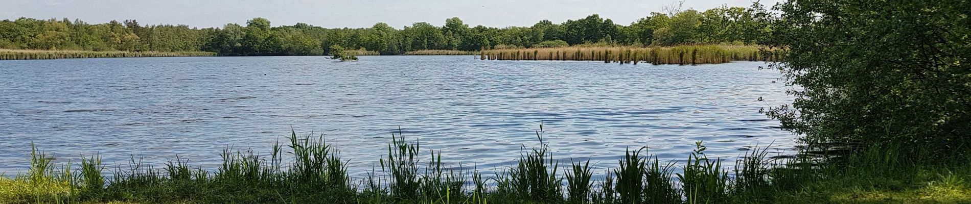
Photos

Positioning
Country:
Belgium
Region :
Flanders
Department/Province :
Antwerp
Municipality :
Dessel
Location:
Dessel
Start:(Dec)
Start:(UTM)
650966 ; 5678163 (31U) N.
Comments