


Fond grand ma modette le littoral

sameja
User
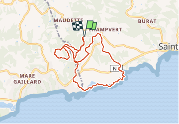

Length
12.7 km

Max alt
74 m

Uphill gradient
269 m
Km-Effort
16.3 km

Min alt
0 m

Downhill gradient
273 m
Boucle
Yes
Creation date :
2020-05-20 10:16:32.0
Updated on :
2020-05-20 12:42:37.047
2h12
Difficulty : Very difficult

FREE GPS app for hiking
 SityTrail
IGN / Geographical institutes
SityTrail Plus
The world is yours!
About
Trail Nordic walking of 12.7 km to be discovered at Guadeloupe, Unknown, Sainte-Anne. This trail is proposed by sameja.
Description
La boucle le littoral tu have
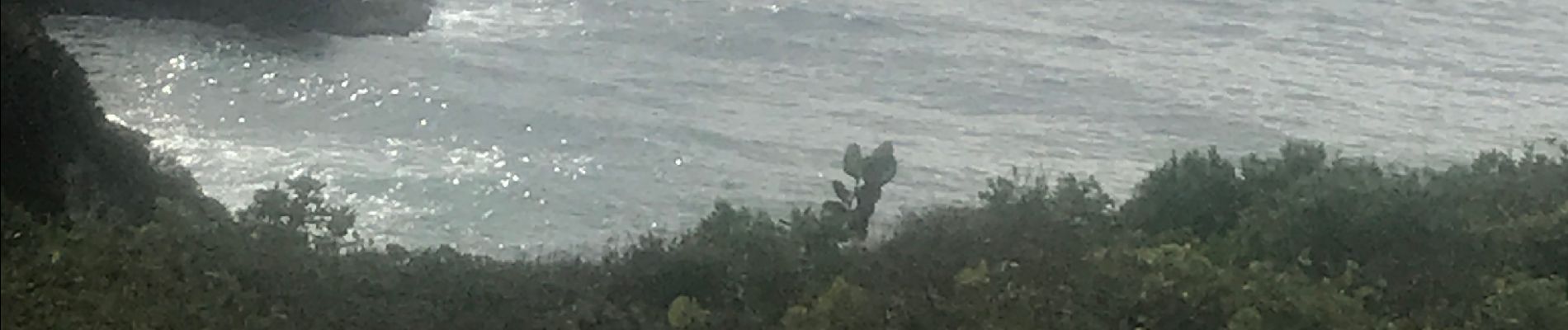
Photos


27 photos in total. Please click on a photo to see them all in the gallery.
Positioning
Country:
France
Region :
Guadeloupe
Department/Province :
Unknown
Municipality :
Sainte-Anne
Location:
Unknown
Start:(Dec)
Start:(UTM)
668915 ; 1794902 (20Q) N.
Comments