


Montolieu Moulins de la Dure

dufland
User
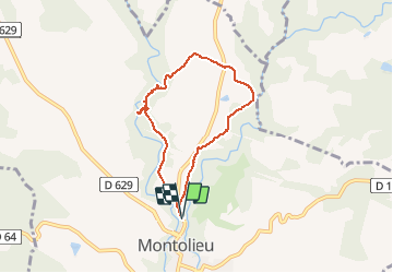

Length
6.6 km

Max alt
321 m

Uphill gradient
158 m
Km-Effort
8.7 km

Min alt
186 m

Downhill gradient
155 m
Boucle
Yes
Creation date :
2020-05-20 08:02:57.195
Updated on :
2020-05-20 18:26:55.326
2h00
Difficulty : Easy

FREE GPS app for hiking
 SityTrail
IGN / Geographical institutes
SityTrail Plus
The world is yours!
About
Trail Walking of 6.6 km to be discovered at Occitania, Aude, Montolieu. This trail is proposed by dufland.
Description
Parking au nord de Montolieu. Faire 100 m sur la route et prendre le chemin à droite. Balisage jaune. Attention tous les chemins ne sont pas sur la carte IGN.
Photos


Positioning
Country:
France
Region :
Occitania
Department/Province :
Aude
Municipality :
Montolieu
Location:
Unknown
Start:(Dec)
Start:(UTM)
436395 ; 4795955 (31T) N.
Comments
très beau parcours. merci !