


2020-05-21 IR226 Rofessart 20 Km de GR Rando

dujcricri
User
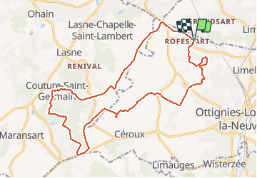

Length
20 km

Max alt
151 m

Uphill gradient
285 m
Km-Effort
24 km

Min alt
69 m

Downhill gradient
286 m
Boucle
Yes
Creation date :
2020-05-21 06:06:53.569
Updated on :
2020-05-21 20:42:11.662
5h15
Difficulty : Medium

FREE GPS app for hiking
 SityTrail
IGN / Geographical institutes
SityTrail Plus
The world is yours!
About
Trail Walking of 20 km to be discovered at Wallonia, Walloon Brabant, Ottignies-Louvain-la-Neuve. This trail is proposed by dujcricri.
Description
Boucle de l'application pour smartphone des Sentiers de grandes Randonnées (SGR) GR Rando
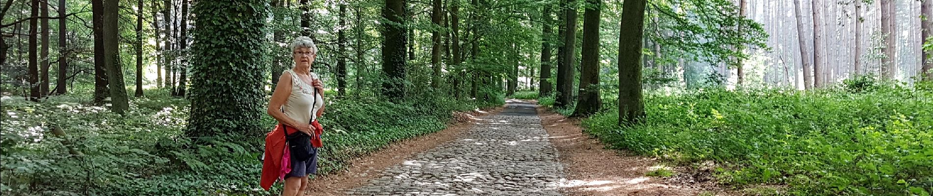
Photos


23 photos in total. Please click on a photo to see them all in the gallery.
Positioning
Country:
Belgium
Region :
Wallonia
Department/Province :
Walloon Brabant
Municipality :
Ottignies-Louvain-la-Neuve
Location:
Limelette
Start:(Dec)
Start:(UTM)
609138 ; 5616389 (31U) N.
Comments