


Mondement du 21/05/2020

VANDERPUTTENMi
User GUIDE
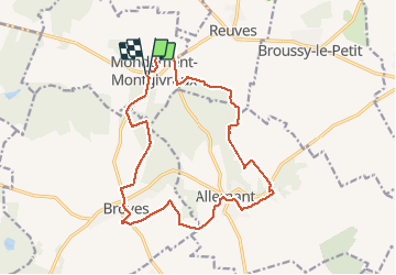

Length
17 km

Max alt
228 m

Uphill gradient
303 m
Km-Effort
21 km

Min alt
149 m

Downhill gradient
302 m
Boucle
Yes
Creation date :
2020-05-21 08:10:56.612
Updated on :
2020-05-22 11:22:26.465
4h40
Difficulty : Very easy

FREE GPS app for hiking
 SityTrail
IGN / Geographical institutes
SityTrail Plus
The world is yours!
About
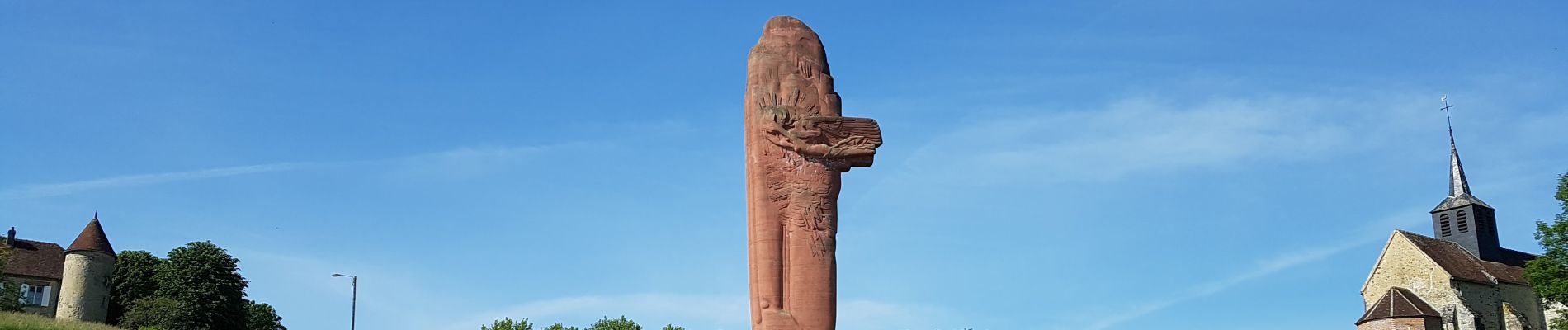
Trail Walking of 17 km to be discovered at Grand Est, Marne, Mondement-Montgivroux. This trail is proposed by VANDERPUTTENMi.
Description
Un petit détour du circuit s'impose à Broyes, pour voir l'église.
Photos


Positioning
Country:
France
Region :
Grand Est
Department/Province :
Marne
Municipality :
Mondement-Montgivroux
Location:
Unknown
Start:(Dec)
Start:(UTM)
556986 ; 5403987 (31U) N.
Comments