


EOURRES , les Diamas , certes de Chanteduc , col de Branche , col de Garasse , col St Pierre o

RobinMicheline
User GUIDE
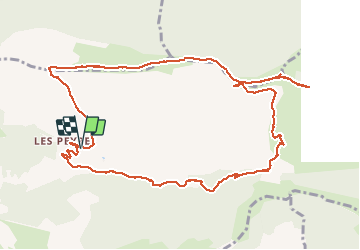

Length
13.4 km

Max alt
1548 m

Uphill gradient
624 m
Km-Effort
22 km

Min alt
964 m

Downhill gradient
624 m
Boucle
Yes
Creation date :
2020-05-21 07:13:50.782
Updated on :
2020-05-21 18:11:07.275
4h13
Difficulty : Medium

FREE GPS app for hiking
 SityTrail
IGN / Geographical institutes
SityTrail Plus
The world is yours!
About
Trail Walking of 13.4 km to be discovered at Provence-Alpes-Côte d'Azur, Hautes-Alpes, Éourres. This trail is proposed by RobinMicheline.
Description
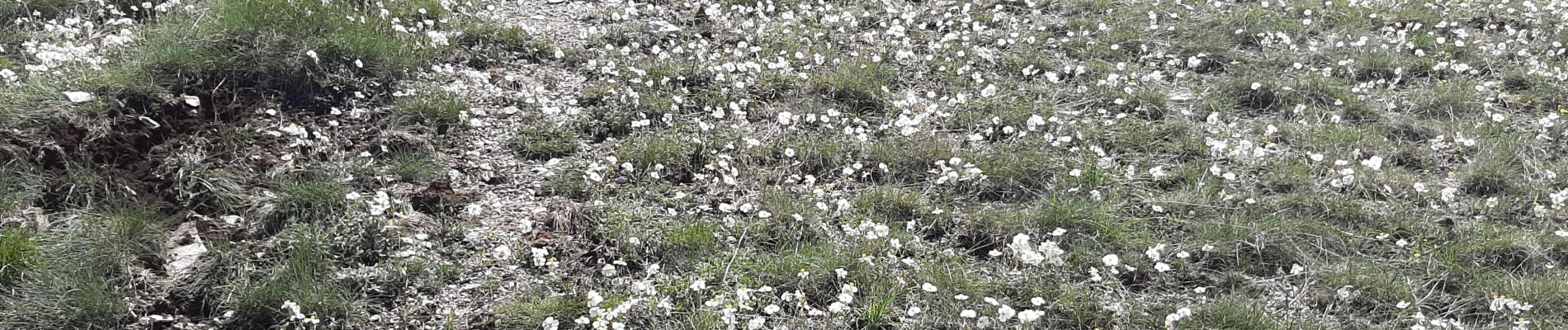
Belle rando , lauriges , chamois , fleurs , GR sympa
Photos

Positioning
Country:
France
Region :
Provence-Alpes-Côte d'Azur
Department/Province :
Hautes-Alpes
Municipality :
Éourres
Location:
Unknown
Start:(Dec)
Start:(UTM)
717217 ; 4899402 (31T) N.
Comments