confluence Rhône Ain

ppn
User
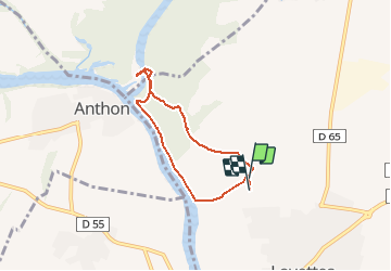

Length
5.6 km

Max alt
198 m

Uphill gradient
26 m
Km-Effort
6 km

Min alt
189 m

Downhill gradient
27 m
Boucle
Yes
Creation date :
2020-05-22 09:30:23.715
Updated on :
2020-05-23 17:25:24.41
3h21
Difficulty : Very easy

FREE GPS app for hiking
 SityTrail
IGN / Geographical institutes
SityTrail Plus
The world is yours!
About
Trail Walking of 5.6 km to be discovered at Auvergne-Rhône-Alpes, Ain, Loyettes. This trail is proposed by ppn.
Positioning
Country:
France
Region :
Auvergne-Rhône-Alpes
Department/Province :
Ain
Municipality :
Loyettes
Location:
Unknown
Start:(Dec)
Start:(UTM)
670758 ; 5072428 (31T) N.
Comments