


Monts - Artannes-sur-Indre - 11.1km 100m 2h20 - 2020 05 22

Orcal37
User GUIDE
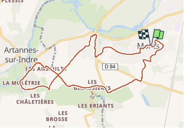

Length
11.1 km

Max alt
91 m

Uphill gradient
100 m
Km-Effort
12.5 km

Min alt
49 m

Downhill gradient
106 m
Boucle
Yes
Creation date :
2020-05-22 13:40:02.902
Updated on :
2020-05-23 15:48:18.265
2h20
Difficulty : Very easy

FREE GPS app for hiking
 SityTrail
IGN / Geographical institutes
SityTrail Plus
The world is yours!
About
Trail Walking of 11.1 km to be discovered at Centre-Loire Valley, Indre-et-Loire, Monts. This trail is proposed by Orcal37.
Description
Monts - Artannes-sur-Indre - boucle via GR 46A - 11.1km 100m 2h20 - 2020 05 22
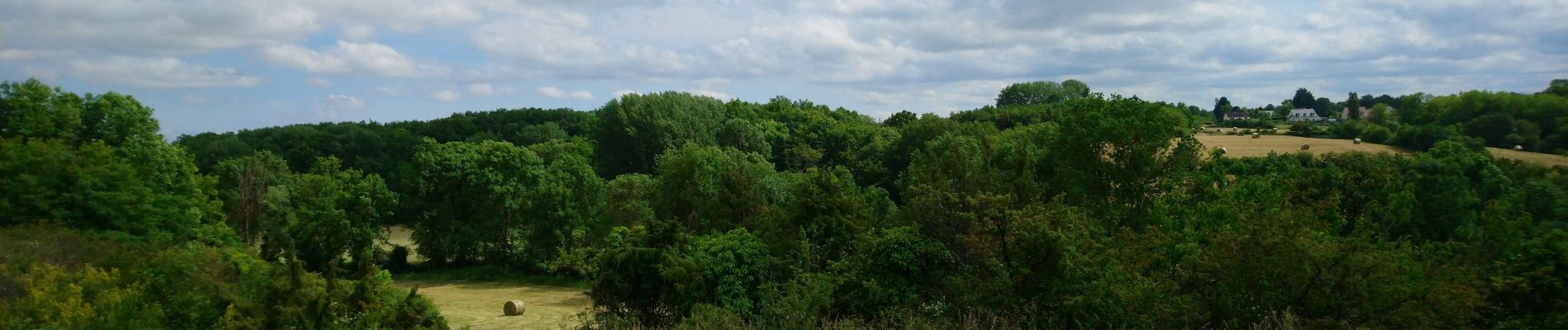
Photos


Positioning
Country:
France
Region :
Centre-Loire Valley
Department/Province :
Indre-et-Loire
Municipality :
Monts
Location:
Unknown
Start:(Dec)
Start:(UTM)
321773 ; 5238407 (31T) N.
Comments