


Saint Zac Yves Isa Valérie

harydh
User GUIDE
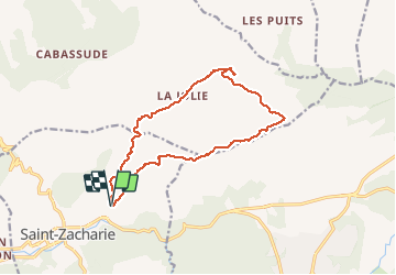

Length
14.9 km

Max alt
623 m

Uphill gradient
368 m
Km-Effort
19.8 km

Min alt
292 m

Downhill gradient
371 m
Boucle
Yes
Creation date :
2020-05-23 07:43:55.74
Updated on :
2020-05-23 16:31:19.531
3h43
Difficulty : Easy

FREE GPS app for hiking
 SityTrail
IGN / Geographical institutes
SityTrail Plus
The world is yours!
About
Trail Walking of 14.9 km to be discovered at Provence-Alpes-Côte d'Azur, Var, Saint-Zacharie. This trail is proposed by harydh.
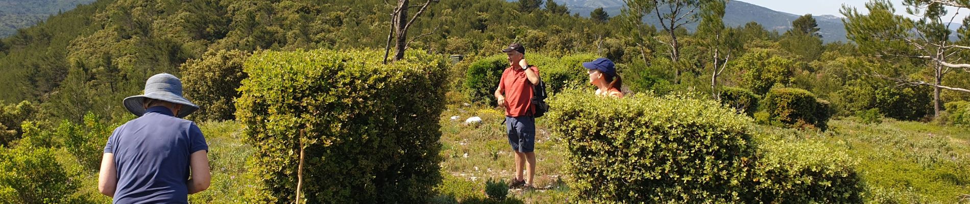
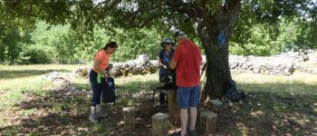
Photos


Positioning
Country:
France
Region :
Provence-Alpes-Côte d'Azur
Department/Province :
Var
Municipality :
Saint-Zacharie
Location:
Unknown
Start:(Dec)
Start:(UTM)
720447 ; 4807760 (31T) N.
Comments