Trail Walking Laître-sous-Amance - Laître sous Amance déf - Photo
© OpenStreetMap contributors
Length
Length
9.2 km
Max alt
Max alt
352 m
Uphill gradient
Uphill gradient
190 m
Km-Effort
Km-Effort  
11.7 km
Min alt
Min alt
211 m
Downhill gradient
Downhill gradient
191 m
Boucle
Boucle
Yes
Creation date :
2020-05-24 16:25:00.536
Updated on :
2020-05-24 16:27:58.723

(1 Reviews)

Walking
Walking
2h31
Difficulty : Medium

Scan this QR Code to open this trail in the SityTrail application

FREE GPS app for hiking

Logo SityTrail SityTrail

IGN / Geographical institutes

Download SityTrail from the App Store Download SityTrail from Google Play

Logo SityTrail SityTrail World

The world is yours!

Download SityTrail from the App Store Download SityTrail from Google Play Download SityTrail on Huawei AppGallery

About

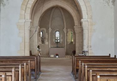
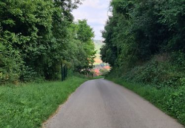
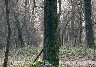
Trail Walking of 9.2 km to be discovered at Grand Est, Meurthe-et-Moselle, Laître-sous-Amance. This trail is proposed by joelclaudel.

Description

Circuit en passant par le balcon d'Amance, Amance, Petit Mont d'Amance, la Coriche, GRP, et retour voie Verte

Elevation profile

Positioning

Country:
France
Region :
Grand Est
Department/Province :
Meurthe-et-Moselle
Municipality :
Laître-sous-Amance
Location:
Unknown
Start:(UTM)
300426 ; 5402347 (32U) N.

Comments

Please log in to post a review or rate the element


Trails nearby

Trail On foot Agincourt - Circuit M - Photo
On foot
PRO

On foot

Easy
Agincourt, Grand Est, Meurthe-et-Moselle, France
13.3 km | 17.8 km-effort
4h 3min
No
Trail Walking Eulmont - 2020-12-11_18h42m13_Eulmont_La tour du Crany_10kms - Photo
Walking
Marin B

Walking

Difficult
(1)
Eulmont, Grand Est, Meurthe-et-Moselle, France
9.6 km | 12.6 km-effort
2h 51min
Yes
Trail Hybrid bike Seichamps - Tonnoy - Photo
Hybrid bike
agranier54

Hybrid bike

Medium
(1)
Seichamps, Grand Est, Meurthe-et-Moselle, France
54 km | 61 km-effort
3h 42min
Yes
Trail Walking Bouxières-aux-Chênes - tour crany 29/5/2019 - Photo
Walking
Morel54

Walking

Very easy
(1)
Bouxières-aux-Chênes, Grand Est, Meurthe-et-Moselle, France
11.1 km | 14 km-effort
3h 42min
Yes
Trail Nordic walking Pulnoy - Foulée des Rois Pulnoy 2024 - Photo
Nordic walking
pgalet

Nordic walking

Medium
Pulnoy, Grand Est, Meurthe-et-Moselle, France
9.9 km | 12.5 km-effort
1h 45min
Yes
Trail Nordic walking Pulnoy - Foulée des Rois Pulnoy 2024 - Photo
Nordic walking
pgalet

Nordic walking

Medium
Pulnoy, Grand Est, Meurthe-et-Moselle, France
9.9 km | 12.5 km-effort
1h 45min
Yes
Trail Nordic walking Pulnoy - Foulée des Rois Pulnoy 2024 - Photo
Nordic walking
pgalet

Nordic walking

Medium
Pulnoy, Grand Est, Meurthe-et-Moselle, France
9.9 km | 12.5 km-effort
1h 45min
Yes
Trail Nordic walking Pulnoy - Foulée des Rois Pulnoy 2024 - Photo
Nordic walking
pgalet

Nordic walking

Medium
Pulnoy, Grand Est, Meurthe-et-Moselle, France
9.9 km | 12.5 km-effort
1h 45min
Yes
Trail Nordic walking Pulnoy - Foulée des Rois Pulnoy 2024 - Photo
Nordic walking
pgalet

Nordic walking

Medium
Pulnoy, Grand Est, Meurthe-et-Moselle, France
9.9 km | 12.5 km-effort
1h 45min
Yes


Close
My subscriptions