


Pas des Bachasson. Boucle

ezorzet
User
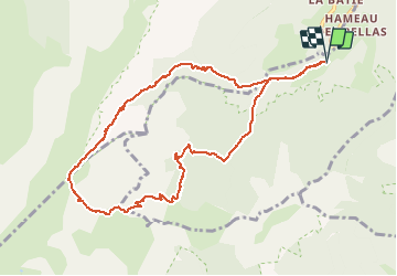

Length
10.6 km

Max alt
1957 m

Uphill gradient
819 m
Km-Effort
22 km

Min alt
1131 m

Downhill gradient
822 m
Boucle
Yes
Creation date :
2020-05-27 05:43:51.745
Updated on :
2020-05-27 15:09:06.547
5h41
Difficulty : Difficult

FREE GPS app for hiking
 SityTrail
IGN / Geographical institutes
SityTrail Plus
The world is yours!
About
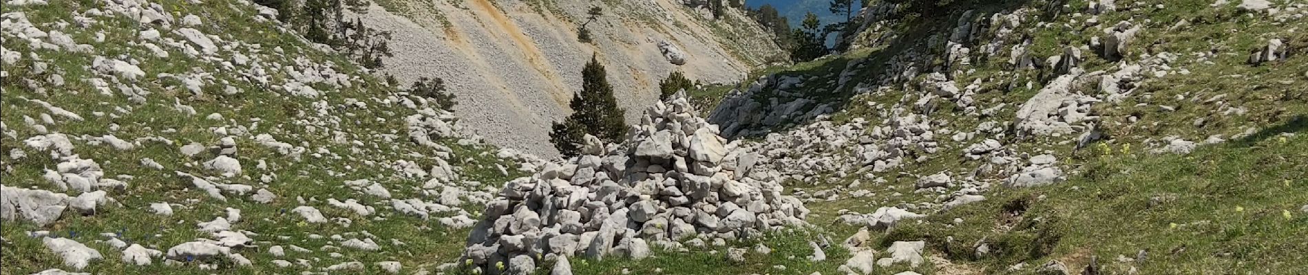
Trail Walking of 10.6 km to be discovered at Auvergne-Rhône-Alpes, Isère, Saint-Michel-les-Portes. This trail is proposed by ezorzet.
Photos

Positioning
Country:
France
Region :
Auvergne-Rhône-Alpes
Department/Province :
Isère
Municipality :
Saint-Michel-les-Portes
Location:
Unknown
Start:(Dec)
Start:(UTM)
702059 ; 4970338 (31T) N.
Comments