LA CHEIRE DE PONTGIBAUD

walrou63
User
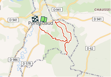

Length
7.3 km

Max alt
773 m

Uphill gradient
153 m
Km-Effort
9.4 km

Min alt
672 m

Downhill gradient
154 m
Boucle
Yes
Creation date :
2020-05-27 13:04:22.8
Updated on :
2020-05-27 15:57:34.904
2h41
Difficulty : Easy

FREE GPS app for hiking
 SityTrail
IGN / Geographical institutes
SityTrail Plus
The world is yours!
About
Trail Walking of 7.3 km to be discovered at Auvergne-Rhône-Alpes, Puy-de-Dôme, Pontgibaud. This trail is proposed by walrou63.
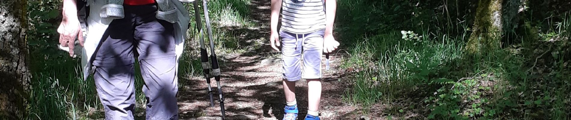
Photos


24 photos in total. Please click on a photo to see them all in the gallery.
Positioning
Country:
France
Region :
Auvergne-Rhône-Alpes
Department/Province :
Puy-de-Dôme
Municipality :
Pontgibaud
Location:
Unknown
Start:(Dec)
Start:(UTM)
488460 ; 5075321 (31T) N.
Comments