


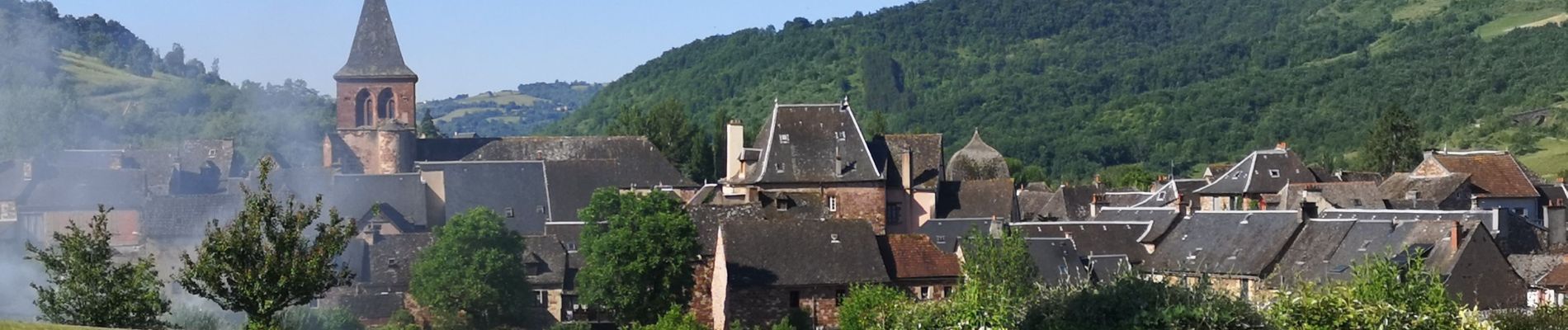
Valady nuces serres

ZITO12
User
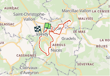

Length
12.6 km

Max alt
513 m

Uphill gradient
320 m
Km-Effort
16.9 km

Min alt
320 m

Downhill gradient
329 m
Boucle
No
Creation date :
2020-05-28 07:40:04.83
Updated on :
2021-03-13 10:00:47.236
4h07
Difficulty : Easy

FREE GPS app for hiking
 SityTrail
IGN / Geographical institutes
SityTrail Plus
The world is yours!
About
Trail Walking of 12.6 km to be discovered at Occitania, Aveyron, Valady. This trail is proposed by ZITO12.
Description
Attention, au point Km 3 l'aller retour à la cote 509 est barré par un panneau d'interdiction pour cause de propriété privé.
Photos


Positioning
Country:
France
Region :
Occitania
Department/Province :
Aveyron
Municipality :
Valady
Location:
Unknown
Start:(Dec)
Start:(UTM)
454496 ; 4922750 (31T) N.
Comments