


Saint-Branchs - circuits 4 5 avec variantes - 18.4km 120m 4h00 - 2020 05 31

Orcal37
User GUIDE
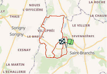

Length
18.4 km

Max alt
107 m

Uphill gradient
119 m
Km-Effort
20 km

Min alt
81 m

Downhill gradient
117 m
Boucle
Yes
Creation date :
2020-05-31 12:52:45.166
Updated on :
2020-06-01 09:21:53.631
4h00
Difficulty : Easy

FREE GPS app for hiking
 SityTrail
IGN / Geographical institutes
SityTrail Plus
The world is yours!
About
Trail Walking of 18.4 km to be discovered at Centre-Loire Valley, Indre-et-Loire, Saint-Branchs. This trail is proposed by Orcal37.
Description
Saint-Branchs - circuits 4 et 5 avec variantes - 18.4km 120m 4h00 - 2020 05 31
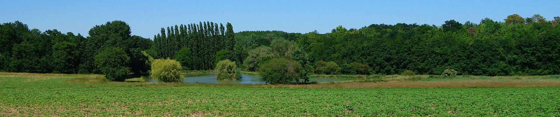
Photos

Positioning
Country:
France
Region :
Centre-Loire Valley
Department/Province :
Indre-et-Loire
Municipality :
Saint-Branchs
Location:
Unknown
Start:(Dec)
Start:(UTM)
329828 ; 5233237 (31T) N.
Comments