


Hauts de Cornimont

schischi
User
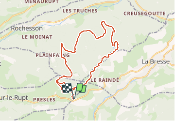

Length
19.1 km

Max alt
1053 m

Uphill gradient
484 m
Km-Effort
26 km

Min alt
818 m

Downhill gradient
484 m
Boucle
Yes
Creation date :
2020-06-01 08:46:39.421
Updated on :
2020-06-01 11:52:28.723
3h03
Difficulty : Easy

FREE GPS app for hiking
 SityTrail
IGN / Geographical institutes
SityTrail Plus
The world is yours!
About
Trail Mountain bike of 19.1 km to be discovered at Grand Est, Vosges, Cornimont. This trail is proposed by schischi.
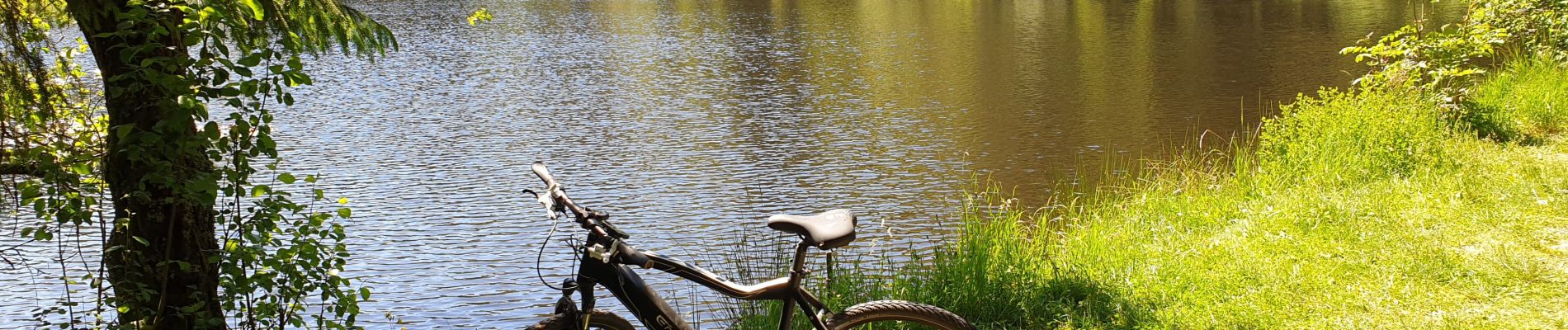
Photos

Positioning
Country:
France
Region :
Grand Est
Department/Province :
Vosges
Municipality :
Cornimont
Location:
Unknown
Start:(Dec)
Start:(UTM)
337299 ; 5317346 (32T) N.
Comments