Trail Walking Bresles - Marais et petit Monts - Depart Camping de la Trye - Photo

Marais et petit Monts - Depart Camping de la Trye

 Vadim
Vadim

User

© OpenStreetMap contributors
Length
Length
8.1 km
Max alt
Max alt
61 m
Uphill gradient
Uphill gradient
59 m
Km-Effort
Km-Effort  
8.9 km
Min alt
Min alt
47 m
Downhill gradient
Downhill gradient
53 m
Boucle
Boucle
No
Creation date :
2020-06-01 09:10:24.0
Updated on :
2020-06-02 04:05:35.588

(0 Reviews)

Walking
Walking
2h30
Difficulty : Medium

Scan this QR Code to open this trail in the SityTrail application

FREE GPS app for hiking

Logo SityTrail SityTrail

IGN / Geographical institutes

Download SityTrail from the App Store Download SityTrail from Google Play

Logo SityTrail SityTrail World

The world is yours!

Download SityTrail from the App Store Download SityTrail from Google Play Download SityTrail on Huawei AppGallery

About

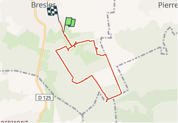
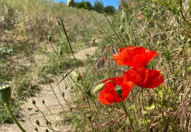
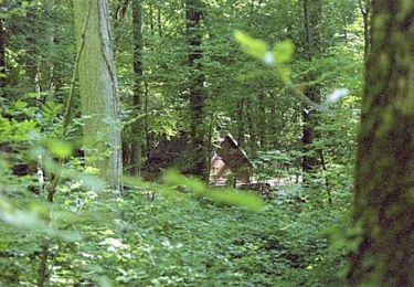
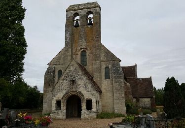
Trail Walking of 8.1 km to be discovered at Hauts-de-France, Oise, Bresles. This trail is proposed by Vadim.

Description

et retour au Camping de la Trye  /- 8 km

Petite Rando proposée par la Communauté de Communes Rurales du Beauvaisis
20 bis, avenue de la libération - 60510 Bresles - 03 44 07 97 79 - contact@cc-rb.com
Circuit
N° 4
Marais et Petits Monts
J'y ai ajouté un nouveau point de départ à partir du Parking visiteur du Camping de la Trye à BRESLES

Elevation profile

Photos

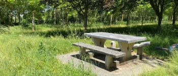
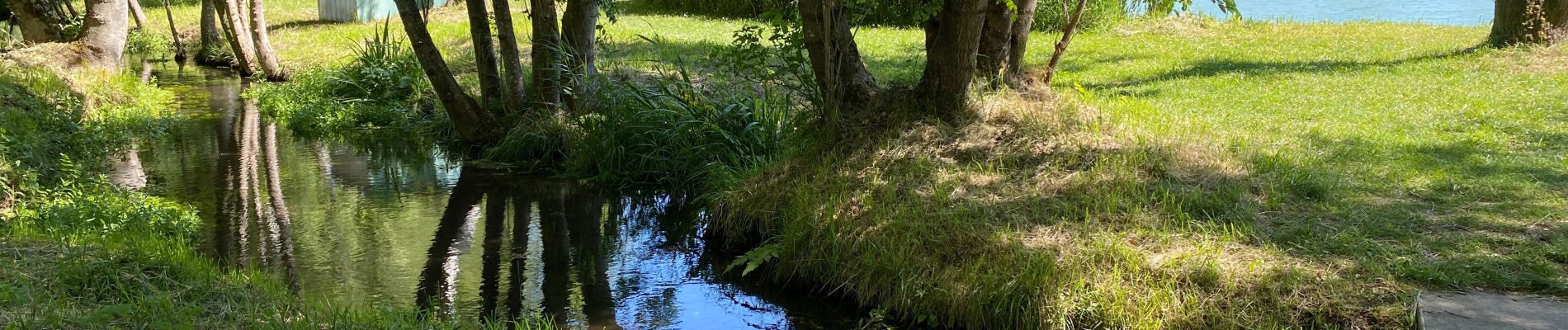
24 photos in total. Please click on a photo to see them all in the gallery.

Points of interest

Point of interest Bresles - Table pic-nique - Photo
Vadim

Positioning

Country:
France
Region :
Hauts-de-France
Department/Province :
Oise
Municipality :
Bresles
Location:
Unknown
Start:(UTM)
446277 ; 5472478 (31U) N.

Trails nearby

Trail Mountain bike Bresles - La Fontaine Chaudron, circuit n°6 - Bresles - Photo
Mountain bike
tracegps

Mountain bike

Medium
Bresles, Hauts-de-France, Oise, France
22 km | 27 km-effort
2h 15min
Yes
Trail Walking Bailleul-sur-Thérain - Mont  César - Photo
Walking
Vadim

Walking

Bailleul-sur-Thérain, Hauts-de-France, Oise, France
768 m | 1.3 km-effort
37min
Yes
Trail Walking La Neuville-en-Hez - circuit  en Forêt de Hez  - Photo
Walking
Mchretn

Walking

Medium
La Neuville-en-Hez, Hauts-de-France, Oise, France
8.1 km | 10 km-effort
2h 9min
Yes
Trail Mountain bike Bresles - La Bresloise 2009 - Photo
Mountain bike
tracegps

Mountain bike

Medium
Bresles, Hauts-de-France, Oise, France
25 km | 30 km-effort
1h 30min
Yes
Trail Walking La Neuville-en-Hez - Bresles - Photo
Walking
gege92

Walking

Difficult
La Neuville-en-Hez, Hauts-de-France, Oise, France
18.2 km | 22 km-effort
5h 14min
Yes
Trail Walking La Rue-Saint-Pierre - Les Chênes verts - Photo
Walking
Vadim

Walking

Medium
La Rue-Saint-Pierre, Hauts-de-France, Oise, France
6.5 km | 7.2 km-effort
1h 35min
Yes
Trail Other activity Bresles - Picardie - Ligne 318 - La Rue-Saint-Pierre - Saint-Just-en-Chaussée - Photo
Other activity
mich54

Other activity

Very easy
Bresles, Hauts-de-France, Oise, France
22 km | 24 km-effort
5min
No
Trail Walking La Rue-Saint-Pierre - 23 les chênes verts - Photo
Walking
fitz2014

Walking

Easy
La Rue-Saint-Pierre, Hauts-de-France, Oise, France
7.3 km | 8.1 km-effort
1h 46min
Yes
Trail Walking La Neuville-en-Hez - La Neuville 9 km - Photo
Walking
Dersigny

Walking

Easy
La Neuville-en-Hez, Hauts-de-France, Oise, France
9.7 km | 11.9 km-effort
2h 20min
Yes


Close
My subscriptions