


Rando Seblines

Romain Boubou
User
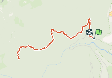

Length
7 km

Max alt
958 m

Uphill gradient
241 m
Km-Effort
10.2 km

Min alt
726 m

Downhill gradient
240 m
Boucle
Yes
Creation date :
2020-06-01 09:31:44.0
Updated on :
2020-06-01 13:46:30.688
3h06
Difficulty : Medium

FREE GPS app for hiking
 SityTrail
IGN / Geographical institutes
SityTrail Plus
The world is yours!
About
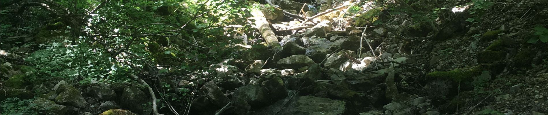
Trail Walking of 7 km to be discovered at Auvergne-Rhône-Alpes, Ain, Gex. This trail is proposed by Romain Boubou.
Photos


Positioning
Country:
France
Region :
Auvergne-Rhône-Alpes
Department/Province :
Ain
Municipality :
Gex
Location:
Unknown
Start:(Dec)
Start:(UTM)
272172 ; 5136765 (32T) N.
Comments