


Sensei34270

rio34740
User

Length
15.3 km

Max alt
244 m

Uphill gradient
315 m
Km-Effort
19.5 km

Min alt
79 m

Downhill gradient
315 m
Boucle
Yes
Creation date :
2020-06-01 09:27:28.0
Updated on :
2020-06-01 14:07:35.252
3h49
Difficulty : Medium

FREE GPS app for hiking
 SityTrail
IGN / Geographical institutes
SityTrail Plus
The world is yours!
About
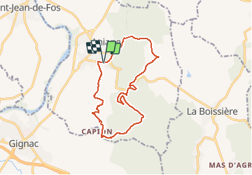
Trail Walking of 15.3 km to be discovered at Occitania, Hérault, Aniane. This trail is proposed by rio34740.
Description
Randonnée à travers les vignes ..
Photos


Positioning
Country:
France
Region :
Occitania
Department/Province :
Hérault
Municipality :
Aniane
Location:
Unknown
Start:(Dec)
Start:(UTM)
547628 ; 4836615 (31T) N.
Comments