


LE HAUT DU ROC JUIN 2020 - 8 JUIN 2020

aout60
User

Length
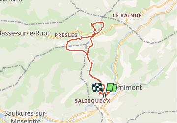
15.6 km

Max alt
1012 m

Uphill gradient
691 m
Km-Effort
25 km

Min alt
497 m

Downhill gradient
691 m
Boucle
Yes
Creation date :
2020-06-08 11:21:22.551
Updated on :
2020-06-17 08:39:24.323
4h48
Difficulty : Medium

FREE GPS app for hiking
 SityTrail
IGN / Geographical institutes
SityTrail Plus
The world is yours!
About
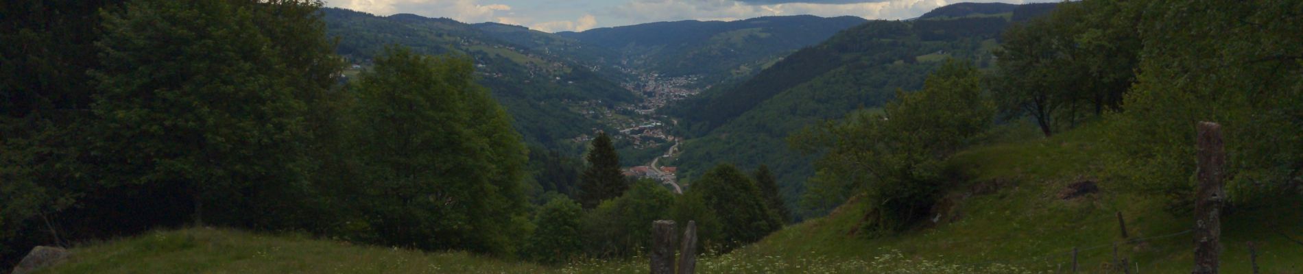
Trail Walking of 15.6 km to be discovered at Grand Est, Vosges, Cornimont. This trail is proposed by aout60.
Photos

Positioning
Country:
France
Region :
Grand Est
Department/Province :
Vosges
Municipality :
Cornimont
Location:
Unknown
Start:(Dec)
Start:(UTM)
337656 ; 5313998 (32T) N.
Comments