climont par la source de la bruche

apa
User
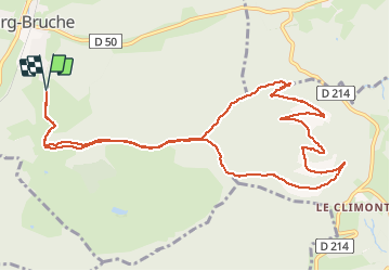

Length
12.5 km

Max alt
961 m

Uphill gradient
461 m
Km-Effort
18.6 km

Min alt
559 m

Downhill gradient
460 m
Boucle
Yes
Creation date :
2020-06-09 07:16:32.049
Updated on :
2020-06-09 12:38:52.198
3h58
Difficulty : Medium

FREE GPS app for hiking
 SityTrail
IGN / Geographical institutes
SityTrail Plus
The world is yours!
About
Trail Walking of 12.5 km to be discovered at Grand Est, Bas-Rhin, Bourg-Bruche. This trail is proposed by apa.
Description
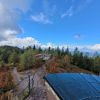
A faire panorama
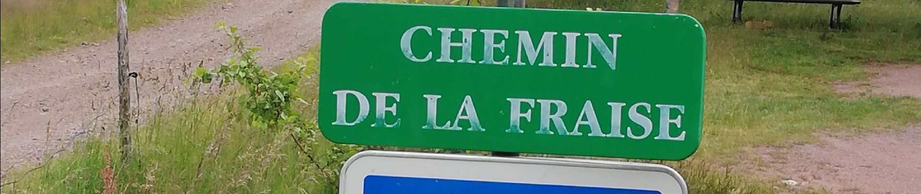
Photos


Positioning
Country:
France
Region :
Grand Est
Department/Province :
Bas-Rhin
Municipality :
Bourg-Bruche
Location:
Unknown
Start:(Dec)
Start:(UTM)
362125 ; 5357052 (32U) N.
Comments