Collobriéres. Sommet de l'Argentière

francisdean
User
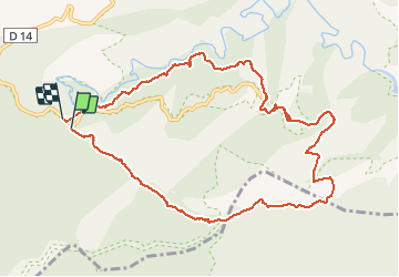

Length
11.9 km

Max alt
541 m

Uphill gradient
367 m
Km-Effort
16.8 km

Min alt
239 m

Downhill gradient
371 m
Boucle
Yes
Creation date :
2020-06-09 07:56:53.523
Updated on :
2020-06-09 17:25:42.232
3h19
Difficulty : Medium

FREE GPS app for hiking
 SityTrail
IGN / Geographical institutes
SityTrail Plus
The world is yours!
About
Trail Walking of 11.9 km to be discovered at Provence-Alpes-Côte d'Azur, Var, Collobrières. This trail is proposed by francisdean.
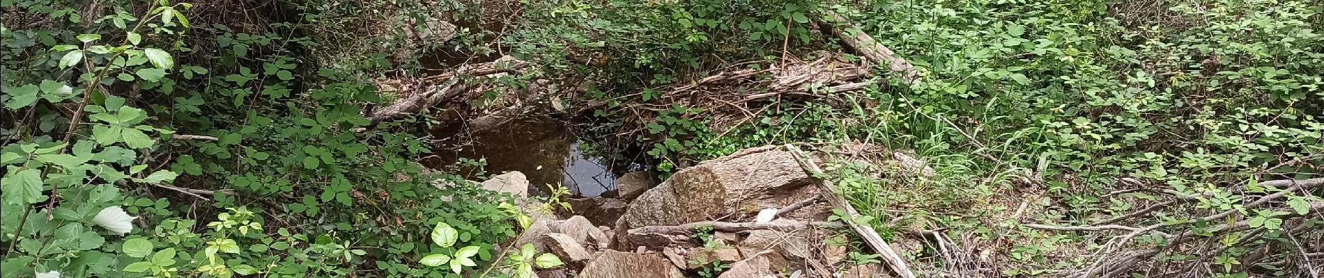
Photos


24 photos in total. Please click on a photo to see them all in the gallery.
Positioning
Country:
France
Region :
Provence-Alpes-Côte d'Azur
Department/Province :
Var
Municipality :
Collobrières
Location:
Unknown
Start:(Dec)
Start:(UTM)
286320 ; 4790018 (32T) N.
Comments