


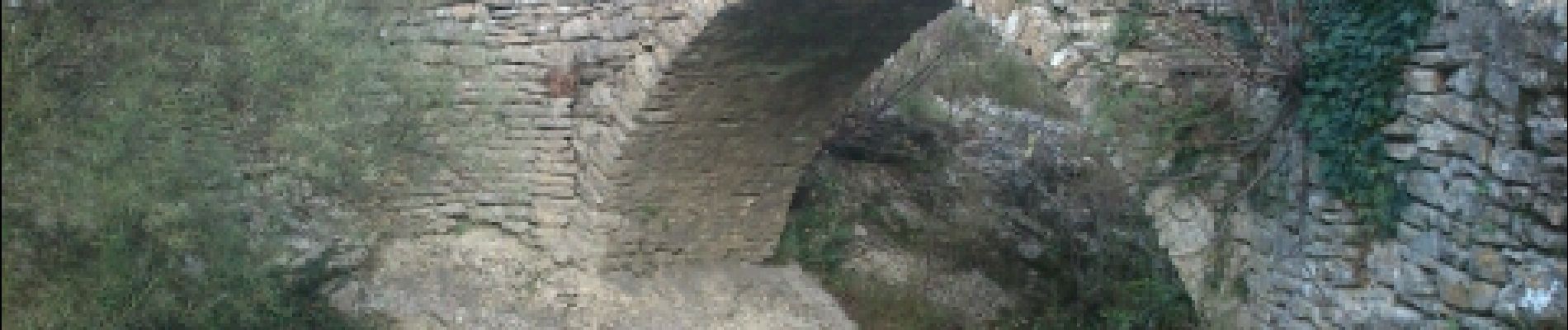
Rochecolombe_Routr royale

pb07
User
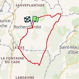

Length
15.8 km

Max alt
422 m

Uphill gradient
421 m
Km-Effort
21 km

Min alt
194 m

Downhill gradient
421 m
Boucle
Yes
Creation date :
2014-12-10 00:00:00.0
Updated on :
2014-12-10 00:00:00.0
3h53
Difficulty : Easy

FREE GPS app for hiking
 SityTrail
IGN / Geographical institutes
SityTrail Plus
The world is yours!
About
Trail Walking of 15.8 km to be discovered at Auvergne-Rhône-Alpes, Ardèche, Rochecolombe. This trail is proposed by pb07.
Photos


Positioning
Country:
France
Region :
Auvergne-Rhône-Alpes
Department/Province :
Ardèche
Municipality :
Rochecolombe
Location:
Unknown
Start:(Dec)
Start:(UTM)
614209 ; 4930546 (31T) N.
Comments