


La boucle St Anne

sameja
User
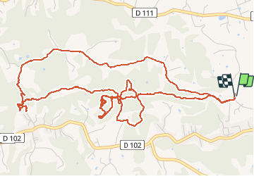

Length
11.3 km

Max alt
116 m

Uphill gradient
312 m
Km-Effort
15.5 km

Min alt
29 m

Downhill gradient
313 m
Boucle
Yes
Creation date :
2020-06-13 10:25:04.0
Updated on :
2020-06-13 12:27:34.29
1h51
Difficulty : Very difficult

FREE GPS app for hiking
 SityTrail
IGN / Geographical institutes
SityTrail Plus
The world is yours!
About
Trail Nordic walking of 11.3 km to be discovered at Guadeloupe, Unknown, Sainte-Anne. This trail is proposed by sameja.
Description
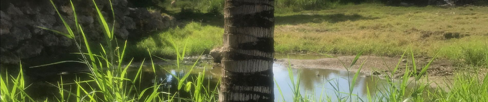
Sous bois route de liard saint Robert
Photos


Positioning
Country:
France
Region :
Guadeloupe
Department/Province :
Unknown
Municipality :
Sainte-Anne
Location:
Unknown
Start:(Dec)
Start:(UTM)
672420 ; 1799150 (20Q) N.
Comments
Tracé sous bois