Trail Walking Reinhardsmunster - 2020-06-13 Marche Ditschelkopf Schweizerberg - Photo

2020-06-13 Marche Ditschelkopf Schweizerberg

 holtzv
holtzv

User GUIDE

© OpenStreetMap contributors
Length
Length
14.5 km
Max alt
Max alt
520 m
Uphill gradient
Uphill gradient
554 m
Km-Effort
Km-Effort  
22 km
Min alt
Min alt
269 m
Downhill gradient
Downhill gradient
547 m
Boucle
Boucle
Yes
Creation date :
2020-06-13 09:24:21.063
Updated on :
2020-06-15 10:08:21.072

(0 Reviews)

Walking
Walking
4h52
Difficulty : Very easy

Scan this QR Code to open this trail in the SityTrail application

FREE GPS app for hiking

Logo SityTrail SityTrail

IGN / Geographical institutes

Download SityTrail from the App Store Download SityTrail from Google Play

Logo SityTrail SityTrail World

The world is yours!

Download SityTrail from the App Store Download SityTrail from Google Play Download SityTrail on Huawei AppGallery

About

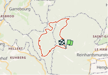
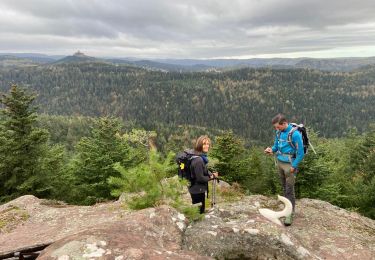
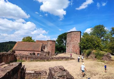
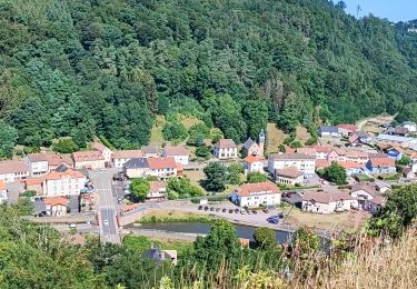
Trail Walking of 14.5 km to be discovered at Grand Est, Bas-Rhin, Reinhardsmunster. This trail is proposed by holtzv.

Description

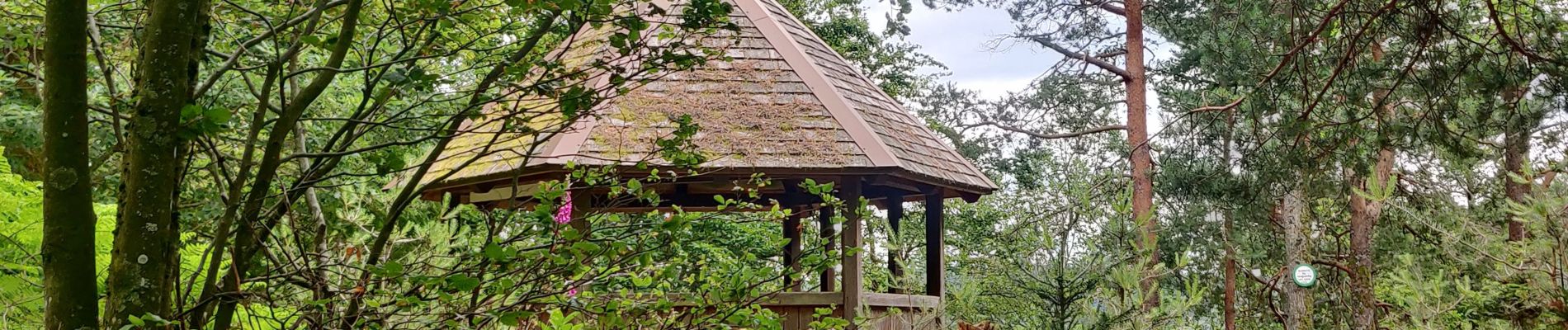
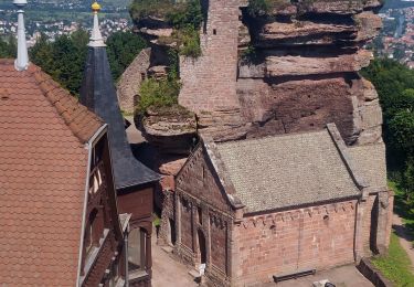
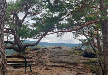
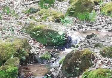
Marche en boucle depuis Reinhardsmunter avec la découverte du Schoenfels (idéal pour faire de l'escalade en block),  la M.F. de Kempel, le Pfannenfels avec la vue sur Dabo, le Kelchfels, le rocher Marguerite, la grotte des Francs-Tireurs, la gloriette du Neubaufels et le Seebfels.

Elevation profile

Photos

Positioning

Country:
France
Region :
Grand Est
Department/Province :
Bas-Rhin
Municipality :
Reinhardsmunster
Location:
Unknown
Start:(UTM)
373853 ; 5393400 (32U) N.

Trails nearby

Trail Walking Reinhardsmunster - 2021-09-01 Marche Reinhardsmunster Haut Barr - Photo
Walking
GUIDE
holtzv

Walking

Very difficult
Reinhardsmunster, Grand Est, Bas-Rhin, France
21 km | 32 km-effort
6h 39min
Yes
Trail Walking Reinhardsmunster - 2019-08-15 Marche Schaerferplatz Geissfels Ochsenstein - Photo
Walking
GUIDE
holtzv

Walking

Very difficult
Reinhardsmunster, Grand Est, Bas-Rhin, France
15 km | 23 km-effort
4h 49min
Yes
Trail Walking Haegen - Haut Barr-Obersteigen-Haut Barr - Photo
Walking
edouard_bieber

Walking

Medium
(2)
Haegen, Grand Est, Bas-Rhin, France
27 km | 40 km-effort
6h 7min
Yes
Trail Mountain bike Dabo - Balcon de Dabo 2010 - Photo
Mountain bike
tracegps

Mountain bike

Very difficult
(1)
Dabo, Grand Est, Moselle, France
39 km | 54 km-effort
4h 30min
Yes
Trail Walking Dabo - 2022-11-01 Marche Dabo et ses Rochers - Photo
Walking
GUIDE
holtzv

Walking

Very difficult
Dabo, Grand Est, Moselle, France
26 km | 38 km-effort
7h 8min
Yes
Trail Walking Henridorff - lutzbourg - Photo
Walking
didier cornelius

Walking

Medium
Henridorff, Grand Est, Moselle, France
16.1 km | 23 km-effort
6h 26min
Yes
Trail Walking Henridorff - lutzelbourg - Photo
Walking
didier cornelius

Walking

Medium
Henridorff, Grand Est, Moselle, France
16.8 km | 24 km-effort
4h 33min
Yes
Trail Walking Reinhardsmunster - Schuetzenfelsen - Photo
Walking
apa

Walking

Medium
Reinhardsmunster, Grand Est, Bas-Rhin, France
12.4 km | 17 km-effort
3h 21min
Yes
Trail Walking Reinhardsmunster - table des Géants  - Photo
Walking
apa

Walking

Easy
(1)
Reinhardsmunster, Grand Est, Bas-Rhin, France
10.4 km | 14.7 km-effort
3h 6min
Yes


Close
My subscriptions