


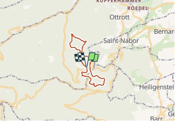
Le circuit nord et sud du Mur Païen

VacheKiri67
User


3h06
Difficulty : Easy

FREE GPS app for hiking
 SityTrail
IGN / Geographical institutes
SityTrail Plus
The world is yours!
About
Trail Walking of 9.9 km to be discovered at Grand Est, Bas-Rhin, Ottrott. This trail is proposed by VacheKiri67.
Description
Faite le 14/06/2020. Balisage : chevalet jaune. Départ : Mont sainte-Odile, parking inférieur.
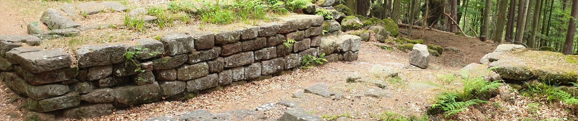
Parcours "magique" le long de cette enceinte mystérieuse.
Photos


51 photos in total. Please click on a photo to see them all in the gallery.
Positioning
Comments