


Balade Tavers-Beaugency

richardlelot
User
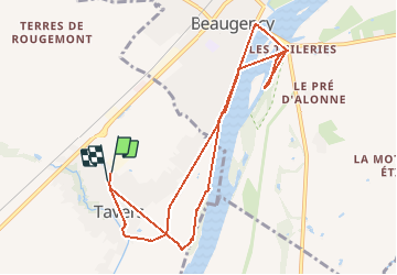

Length
9.8 km

Max alt
102 m

Uphill gradient
74 m
Km-Effort
10.7 km

Min alt
76 m

Downhill gradient
74 m
Boucle
Yes
Creation date :
2020-06-14 13:21:58.741
Updated on :
2020-06-14 16:36:52.192
2h27
Difficulty : Easy

FREE GPS app for hiking
 SityTrail
IGN / Geographical institutes
SityTrail Plus
The world is yours!
About
Trail Walking of 9.8 km to be discovered at Centre-Loire Valley, Loiret, Tavers. This trail is proposed by richardlelot.
Description
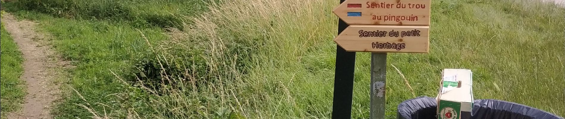
mixe de plusieurs morceaux de balades à faire sur Tavers et Beaugency
Photos


Positioning
Country:
France
Region :
Centre-Loire Valley
Department/Province :
Loiret
Municipality :
Tavers
Location:
Unknown
Start:(Dec)
Start:(UTM)
396012 ; 5290795 (31T) N.
Comments