


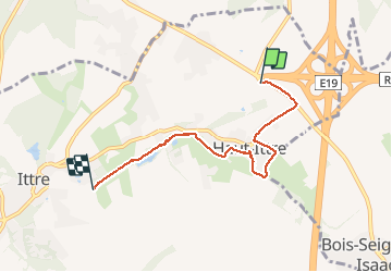
Haut Ittre - Ittre Partiel 2020 06 16

ThierryGABRIEL
User

Length
4.5 km

Max alt
128 m

Uphill gradient
27 m
Km-Effort
5 km

Min alt
82 m

Downhill gradient
70 m
Boucle
No
Creation date :
2020-06-16 07:39:56.495
Updated on :
2020-06-16 10:32:32.827
2h49
Difficulty : Easy

FREE GPS app for hiking
 SityTrail
IGN / Geographical institutes
SityTrail Plus
The world is yours!
About
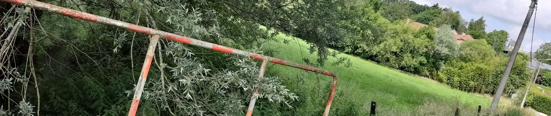
Trail Walking of 4.5 km to be discovered at Wallonia, Walloon Brabant, Ittre. This trail is proposed by ThierryGABRIEL.
Photos


Positioning
Country:
Belgium
Region :
Wallonia
Department/Province :
Walloon Brabant
Municipality :
Ittre
Location:
Haut-Ittre
Start:(Dec)
Start:(UTM)
591847 ; 5612798 (31U) N.
Comments