


clos Henry

micheleuvrard
User
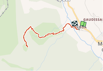

Length
5 km

Max alt
2110 m

Uphill gradient
450 m
Km-Effort
11 km

Min alt
1671 m

Downhill gradient
454 m
Boucle
Yes
Creation date :
2020-06-18 06:42:01.891
Updated on :
2020-06-18 09:53:55.623
3h05
Difficulty : Very easy

FREE GPS app for hiking
 SityTrail
IGN / Geographical institutes
SityTrail Plus
The world is yours!
About
Trail Walking of 5 km to be discovered at Provence-Alpes-Côte d'Azur, Hautes-Alpes, Molines-en-Queyras. This trail is proposed by micheleuvrard.
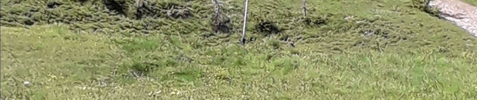
Photos


Positioning
Country:
France
Region :
Provence-Alpes-Côte d'Azur
Department/Province :
Hautes-Alpes
Municipality :
Molines-en-Queyras
Location:
Unknown
Start:(Dec)
Start:(UTM)
328592 ; 4955612 (32T) N.
Comments