


Croix-Rousse / la Tête d'Or

VANDERPUTTENMi
User GUIDE


Length
8.8 km

Max alt
260 m

Uphill gradient
82 m
Km-Effort
10.2 km

Min alt
163 m

Downhill gradient
159 m
Boucle
No
Creation date :
2020-06-18 12:35:17.571
Updated on :
2020-06-18 16:51:00.922
2h23
Difficulty : Very easy

FREE GPS app for hiking
 SityTrail
IGN / Geographical institutes
SityTrail Plus
The world is yours!
About
Trail Walking of 8.8 km to be discovered at Auvergne-Rhône-Alpes, Métropole de Lyon, Lyon. This trail is proposed by VANDERPUTTENMi.
Description
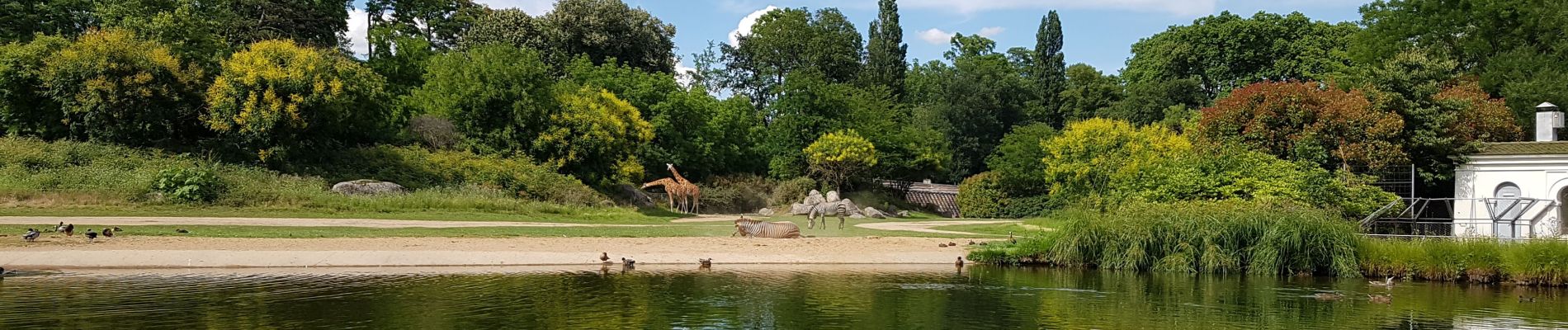
Circuit découverte
Photos


Positioning
Country:
France
Region :
Auvergne-Rhône-Alpes
Department/Province :
Métropole de Lyon
Municipality :
Lyon
Location:
Lyon 4e Arrondissement
Start:(Dec)
Start:(UTM)
641785 ; 5071604 (31T) N.
Comments