


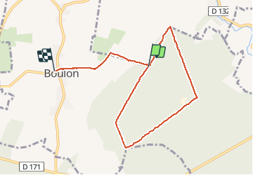

6.5 km | 7.5 km-effort


User


FREE GPS app for hiking
 SityTrail
IGN / Geographical institutes
SityTrail World
The world is yours!
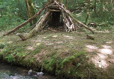
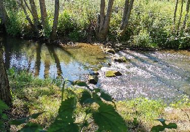
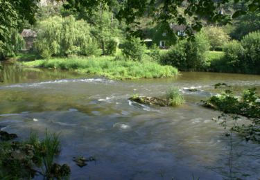
Trail Walking of 7.6 km to be discovered at Normandy, Calvados, Boulon. This trail is proposed by gr1346.
belle rando assez facile par temps sec
Geocaching
Mountain bike

Running
Mountain bike

Mountain bike

Mountain bike
Mountain bike