


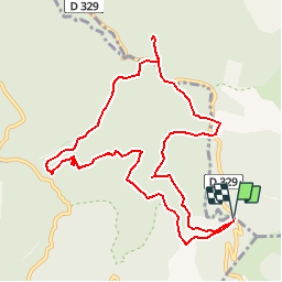


13.9 km | 19.6 km-effort


User


FREE GPS app for hiking
 SityTrail
IGN / Geographical institutes
SityTrail World
The world is yours!
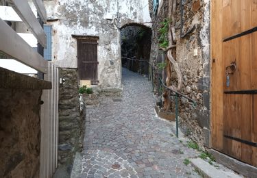
Trail Walking of 11.5 km to be discovered at Occitania, Gard, Arphy. This trail is proposed by dansmabulle.
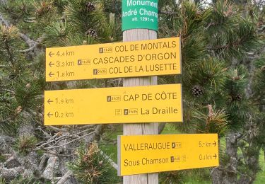
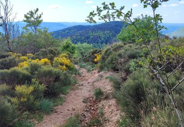
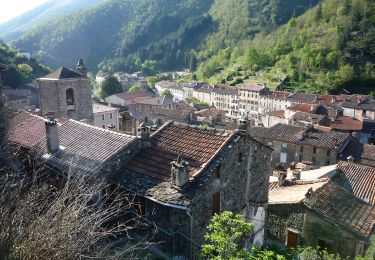
CAP-DE-COTE - CASCADE D ORGON
12.0Km - 04h30
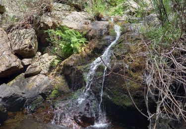
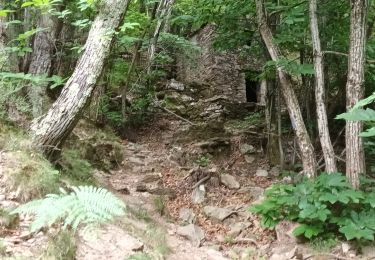
Départ randonnée :Cap de Côte au gîte d'étape (gard).Le départ se fera de cap de Côte au gîte d'étape pour reprendre le chemin du bas qui rejoint la route jusqu'au col de Broue par la cascade.Nous obliquerons par la route forestière jusqu'aux cascades que nous verrons du haut d'une jolie passerelle.Nous continuerons ensuite vers le col de la Lusette et irons jusqu'au belvédaire, duquel, nous aurons la vue sur, le Mt. Aigoual plein nord, et la haute vallée de l'Hérault.Nous prendrons ensuite la draille de la transhumance pour rattrapper le sentier de Cap, magnifique vue sur la vallée et la cascade.
Walking

Walking

Walking
Walking
Walking
Walking
On foot

Walking