


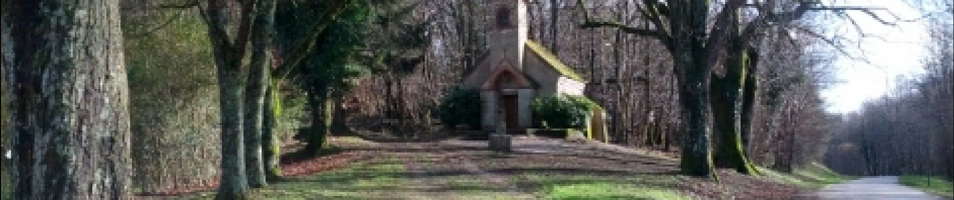
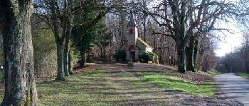
Rahon - N. D. du Bois

albert39
User


2h00
Difficulty : Difficult

FREE GPS app for hiking
 SityTrail
IGN / Geographical institutes
SityTrail Plus
The world is yours!
About
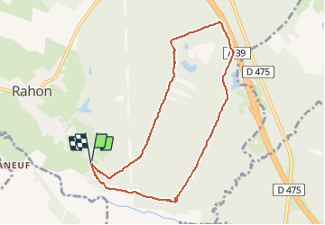
Trail Nordic walking of 8.8 km to be discovered at Bourgogne-Franche-Comté, Jura, Rahon. This trail is proposed by albert39.
Description
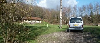
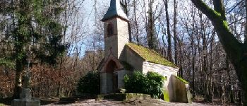
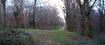
Départ parking du stade par le GRP de la Bresse Comtoise (découverte jusqu'au ruisseau de la Veuge, pleine d'eau ! A.R), les deux chemins blanc par l'étang de la Vouivre et retour par la Chapelle de N. D. du Bois. Circuit plat et propice à l’intensité pour de bonnes jambes !
Photos


Positioning
Comments