


rando tavers

richardlelot
User
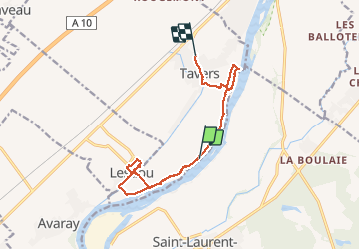

Length
12.1 km

Max alt
101 m

Uphill gradient
94 m
Km-Effort
13.3 km

Min alt
75 m

Downhill gradient
77 m
Boucle
No
Creation date :
2020-06-21 10:12:07.745
Updated on :
2020-06-21 14:21:48.3
4h08
Difficulty : Very easy

FREE GPS app for hiking
 SityTrail
IGN / Geographical institutes
SityTrail Plus
The world is yours!
About
Trail Walking of 12.1 km to be discovered at Centre-Loire Valley, Loiret, Tavers. This trail is proposed by richardlelot.
Photos


Positioning
Country:
France
Region :
Centre-Loire Valley
Department/Province :
Loiret
Municipality :
Tavers
Location:
Unknown
Start:(Dec)
Start:(UTM)
396026 ; 5288137 (31T) N.
Comments