


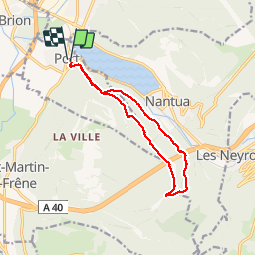

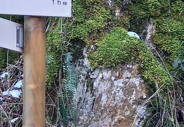
10.5 km | 14.5 km-effort


User


FREE GPS app for hiking
 SityTrail
IGN / Geographical institutes
SityTrail World
The world is yours!
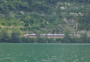
Trail Walking of 12.1 km to be discovered at Auvergne-Rhône-Alpes, Ain, Port. This trail is proposed by tgvpatrickfavre.
depuis Port avec passage å nantua

Walking
Walking
Walking
On foot
On foot

On foot
Walking
Walking

Walking
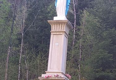
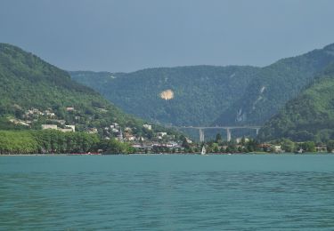
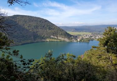
ballade à faire connaître vue splendide sur Nantua