


Reignac-sur-Indre - Azay-sur-Indre - 16.1km 145m 3h25 - 2020 06 22

Orcal37
User GUIDE
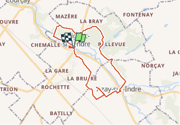

Length
16.1 km

Max alt
105 m

Uphill gradient
145 m
Km-Effort
18.1 km

Min alt
58 m

Downhill gradient
145 m
Boucle
Yes
Creation date :
2020-06-22 12:06:37.13
Updated on :
2020-07-08 17:10:57.923
3h25
Difficulty : Easy

FREE GPS app for hiking
 SityTrail
IGN / Geographical institutes
SityTrail Plus
The world is yours!
About
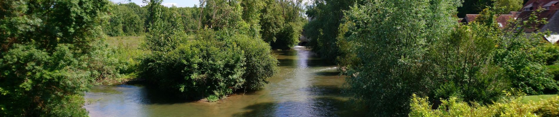
Trail Walking of 16.1 km to be discovered at Centre-Loire Valley, Indre-et-Loire, Reignac-sur-Indre. This trail is proposed by Orcal37.
Description
Reignac-sur-Indre - Azay-sur-Indre - GR46 boucle PR - 16.1km 145m 3h25 - 2020 06 22
Photos


Positioning
Country:
France
Region :
Centre-Loire Valley
Department/Province :
Indre-et-Loire
Municipality :
Reignac-sur-Indre
Location:
Unknown
Start:(Dec)
Start:(UTM)
342148 ; 5232611 (31T) N.
Comments