


Lyon 25-01-2014

PatRando
User
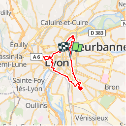

Length
21 km

Max alt
305 m

Uphill gradient
368 m
Km-Effort
26 km

Min alt
163 m

Downhill gradient
367 m
Boucle
Yes
Creation date :
2016-12-17 00:00:00.0
Updated on :
2016-12-17 00:00:00.0
5h31
Difficulty : Very easy

FREE GPS app for hiking
 SityTrail
IGN / Geographical institutes
SityTrail Plus
The world is yours!
About
Trail Walking of 21 km to be discovered at Auvergne-Rhône-Alpes, Métropole de Lyon, Lyon. This trail is proposed by PatRando.
Description
Balade dans Lyon
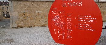
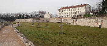
Photos


Positioning
Country:
France
Region :
Auvergne-Rhône-Alpes
Department/Province :
Métropole de Lyon
Municipality :
Lyon
Location:
Lyon 3e Arrondissement
Start:(Dec)
Start:(UTM)
643958 ; 5069261 (31T) N.
Comments