


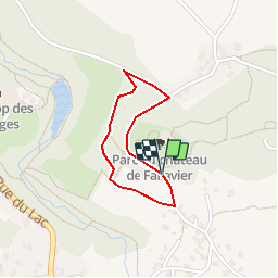


8.4 km | 10.6 km-effort


User


FREE GPS app for hiking
 SityTrail
IGN / Geographical institutes
SityTrail World
The world is yours!
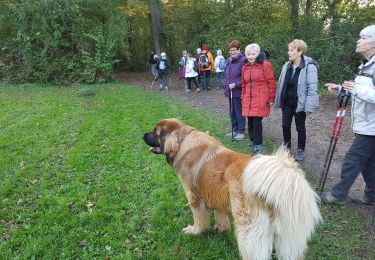
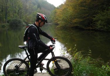
Trail Walking of 1.2 km to be discovered at Auvergne-Rhône-Alpes, Isère, Saint-Quentin-Fallavier. This trail is proposed by amelard.
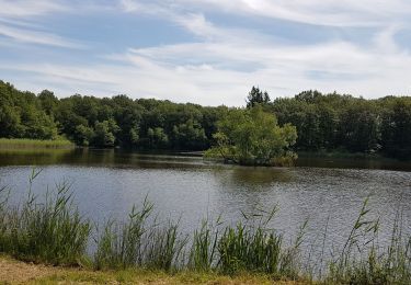
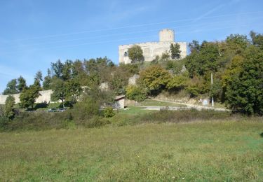
départ du parking du château en direction de saint quentin et retour par le bois.

Walking
Mountain bike
Walking
Walking
Walking
Bicycle tourism
Cycle
Mountain bike
Mountain bike