


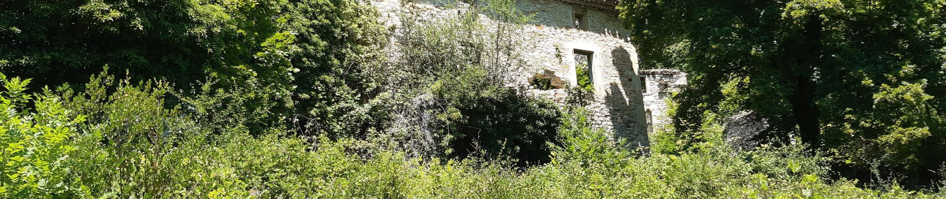
saou bergerie patuel auberge muletiers

Joel26400
User
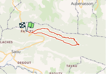

Length
12.5 km

Max alt
656 m

Uphill gradient
367 m
Km-Effort
17.4 km

Min alt
401 m

Downhill gradient
367 m
Boucle
Yes
Creation date :
2020-06-24 07:00:48.811
Updated on :
2020-06-24 13:14:44.653
5h19
Difficulty : Very easy

FREE GPS app for hiking
 SityTrail
IGN / Geographical institutes
SityTrail Plus
The world is yours!
About
Trail Walking of 12.5 km to be discovered at Auvergne-Rhône-Alpes, Drôme, Saou. This trail is proposed by Joel26400.
Description
cité synclinal.auberge
Photos


Positioning
Country:
France
Region :
Auvergne-Rhône-Alpes
Department/Province :
Drôme
Municipality :
Saou
Location:
Unknown
Start:(Dec)
Start:(UTM)
664546 ; 4947551 (31T) N.
Comments