


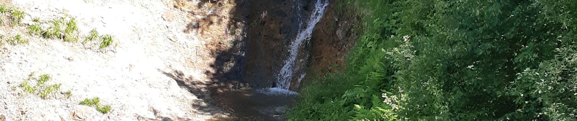
Cascade du Moine dans la vallée de Chaudefour

walrou63
User


2h48
Difficulty : Easy

FREE GPS app for hiking
 SityTrail
IGN / Geographical institutes
SityTrail Plus
The world is yours!
About
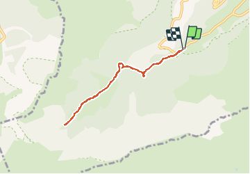
Trail Walking of 6.9 km to be discovered at Auvergne-Rhône-Alpes, Puy-de-Dôme, Chambon-sur-Lac. This trail is proposed by walrou63.
Description
Départ du parking du Buron de Chaudefour, pour se rendre jusqu'à la cascade du Moine, en aller-retour, au fond de la vallée, au pied du Puy Ferrand.
Photos


22 photos in total. Please click on a photo to see them all in the gallery.
Positioning
Comments