


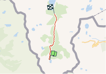

8.3 km | 21 km-effort

User


FREE GPS app for hiking
 SityTrail
IGN / Geographical institutes
SityTrail World
The world is yours!
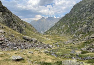
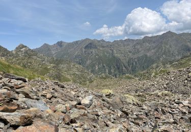
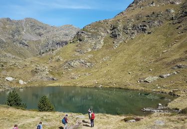
Trail Walking of 5.5 km to be discovered at Occitania, Ariège, Auzat. This trail is proposed by rolandariege.
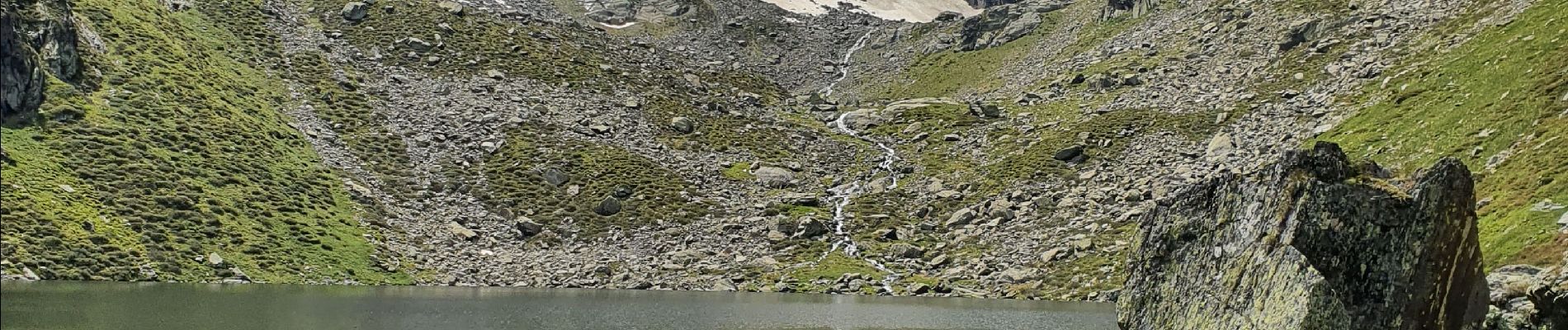
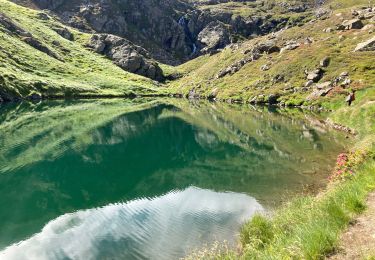
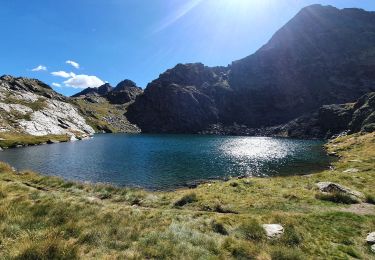
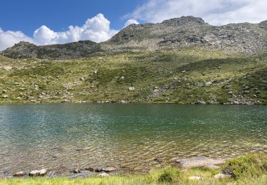
Étang au fond de la vallée de Soulcem (Ariège)


Walking
Walking
Walking
Walking
Walking
Walking

Walking

On foot
Walking