


RA2020 PYR Tour Alpage col du Portet

dfluzin
User
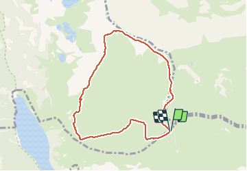

Length
8.3 km

Max alt
2488 m

Uphill gradient
434 m
Km-Effort
14.2 km

Min alt
2130 m

Downhill gradient
440 m
Boucle
Yes
Creation date :
2020-06-28 10:13:22.751
Updated on :
2020-06-28 14:28:27.56
3h08
Difficulty : Difficult

FREE GPS app for hiking
 SityTrail
IGN / Geographical institutes
SityTrail Plus
The world is yours!
About
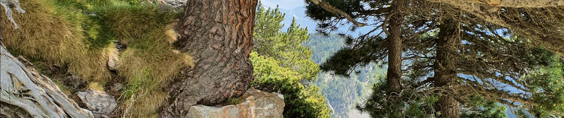
Trail Walking of 8.3 km to be discovered at Occitania, Hautespyrenees, Saint-Lary-Soulan. This trail is proposed by dfluzin.
Photos


21 photos in total. Please click on a photo to see them all in the gallery.
Positioning
Country:
France
Region :
Occitania
Department/Province :
Hautespyrenees
Municipality :
Saint-Lary-Soulan
Location:
Unknown
Start:(Dec)
Start:(UTM)
274079 ; 4745948 (31T) N.
Comments