


cinq rocs Tournai

Tagdilag
User
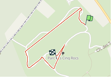

Length
941 m

Max alt
56 m

Uphill gradient
23 m
Km-Effort
1.2 km

Min alt
27 m

Downhill gradient
6 m
Boucle
No
Creation date :
2020-06-28 14:05:27.246
Updated on :
2020-06-28 15:55:23.978
1h49
Difficulty : Very easy

FREE GPS app for hiking
 SityTrail
IGN / Geographical institutes
SityTrail Plus
The world is yours!
About
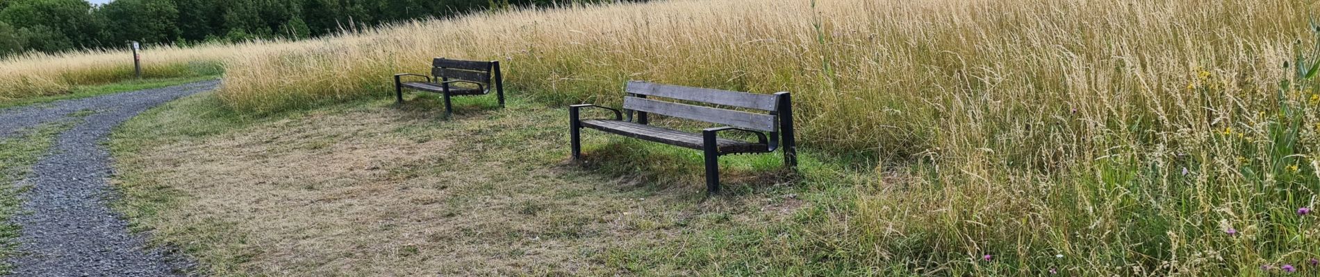
Trail Walking of 941 m to be discovered at Wallonia, Hainaut, Antoing. This trail is proposed by Tagdilag.
Photos


Positioning
Country:
Belgium
Region :
Wallonia
Department/Province :
Hainaut
Municipality :
Antoing
Location:
Calonne
Start:(Dec)
Start:(UTM)
530491 ; 5603485 (31U) N.
Comments