


Val d'Epy départ

drarep
User
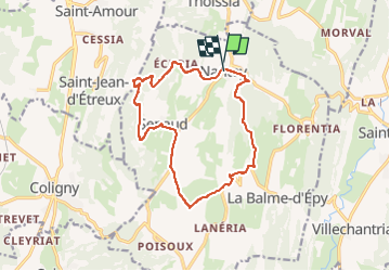

Length
14.2 km

Max alt
601 m

Uphill gradient
329 m
Km-Effort
18.6 km

Min alt
369 m

Downhill gradient
334 m
Boucle
Yes
Creation date :
2020-07-02 14:50:36.981
Updated on :
2022-06-19 16:05:37.424
3h56
Difficulty : Easy

FREE GPS app for hiking
 SityTrail
IGN / Geographical institutes
SityTrail Plus
The world is yours!
About
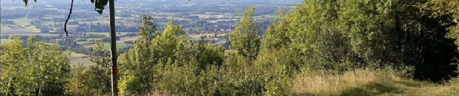
Trail Walking of 14.2 km to be discovered at Bourgogne-Franche-Comté, Jura, Val-d'Épy. This trail is proposed by drarep.
Photos

Positioning
Country:
France
Region :
Bourgogne-Franche-Comté
Department/Province :
Jura
Municipality :
Val-d'Épy
Location:
Unknown
Start:(Dec)
Start:(UTM)
684363 ; 5142262 (31T) N.
Comments