


Mont Verjon

drarep
User
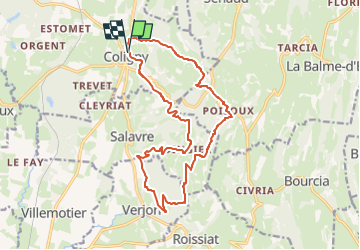

Length
17.6 km

Max alt
543 m

Uphill gradient
674 m
Km-Effort
27 km

Min alt
279 m

Downhill gradient
670 m
Boucle
Yes
Creation date :
2020-07-02 15:18:29.619
Updated on :
2023-05-03 07:16:06.593
6h02
Difficulty : Very difficult

FREE GPS app for hiking
 SityTrail
IGN / Geographical institutes
SityTrail Plus
The world is yours!
About
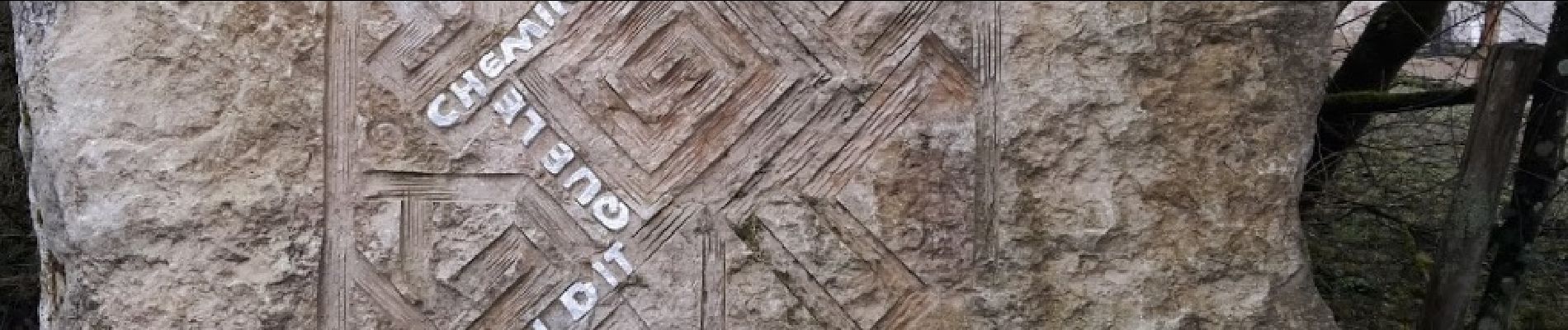
Trail Walking of 17.6 km to be discovered at Auvergne-Rhône-Alpes, Ain, Coligny. This trail is proposed by drarep.
Photos

Positioning
Country:
France
Region :
Auvergne-Rhône-Alpes
Department/Province :
Ain
Municipality :
Coligny
Location:
Unknown
Start:(Dec)
Start:(UTM)
680402 ; 5139341 (31T) N.
Comments